The project, which has posed an enormous challenge due to the complexity of using state-of-the-art computer technology, enables UFD to assess and monitor in order to efficiently programme the maintenance tasks for the electrical lines, warn of potential risk situations, and improve the felling and pruning tasks.
Cotesa, a technology company in the Tecopy Group, has personalised an exclusive software capable of replacing the conventional on-site monitoring by using very high-resolution satellite images and a Big Data platform that can be adjusted to the needs of every project.
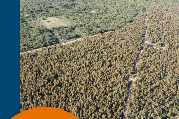
The new computing programme can monitor the invasive process of the forest mass semi-automatically, assess the risks depending on proximity to the distribution network and generate 3D and 2D alerts. The satellite images provide precise information about the terrain of the areas of interest, the distance between the electrical lines and the maximum height of the woodland and shrubland, in addition to showing the evolution of the forest mass throughout the year. The analysis with this high-resolution satellite technology can also identify diseased trees and those that are too tall, as well as illegal plantations close to electrical lines.
The pilot project has been carried out successfully in Galicia over 7,243 kilometres of the UFD electrical network in the region.
Innovation at Naturgy
Innovation has always been part of the Naturgy group, and it is currently committed to a collaborative and open innovation strategy which encourages relationships with external stakeholders such as universities, start-ups, research bodies, entrepreneurs and public administrations to promote the exchange of ideas and transform them into services that guarantee a supply of efficient, sustainable and secure energy.


